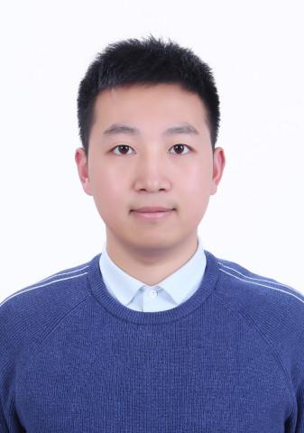
|
基本信息Personal Information
讲师
性别 : 男
毕业院校 : 南京师范大学
学历 : 博士研究生毕业
学位 : 博士学位
在职信息 : 在岗
所在单位 : 地理与环境科学学院
入职时间 : 2023年10月07日
学科 : 地理科学
办公地点 : 17-612
Email :
教师其他联系方式Other Contact Information
通讯/办公地址 :
邮箱 :
个人简介Personal Profile
主要研究方向
数字地形分析、地形建模与分析、GIS空间分析、多点地质统计
部分代表性论文
Hu G., Li S, Xiong L, Tang G. Hillslope surface classification from elevation models by using normal vectors[J]. Geomorphology, 2025: 109614.
Hu G., Jiang Y, Li S, Xiong L, Tang G, Mariethoz G. Super-resolution of digital elevation models by using multiple-point statistics and training image selection[J]. Computers & Geosciences, 2024, 191: 105688.
Hu G., Wang C, Li S, et al. Using vertices of a triangular irregular network to calculate slope and aspect[J]. International Journal of Geographical Information Science, 2022, 36(2): 382-404.
Hu G., Dai W, Li S, et al. Quantification of terrain plan concavity and convexity using aspect vectors from digital elevation models[J]. Geomorphology, 2021, 375: 107553.
Hu G., Xiong L, Lu S, et al. Mathematical vector framework for gravity-specific land surface curvatures calculation from triangulated irregular networks[J]. GIScience & Remote Sensing, 2022, 59(1): 590-608.
Hu G., Dai W, Li S, et al. A vector operation to extract second-order terrain derivatives from digital elevation models[J]. Remote Sensing, 2020, 12(19): 3134.
胡光辉,熊礼阳,汤国安.DEM地表坡向变率的向量几何计算法[J].测绘学报,2019,48(11):1404-1414.
Dai W, Hu G., Yang X, et al. Identifying ephemeral gullies from high-resolution images and DEMs using flow-directional detection[J]. Journal of Mountain Science, 2020, 17(12): 3024-3038.
Li S., Hu G., Cheng X., et al. Integrating topographic knowledge into deep learning for the void-filling of digital elevation models[J]. Remote Sensing of Environment, 2022, 269:112818.
知识产权
胡光辉,熊礼阳. 一种基于数学向量几何的DEM二阶地形因子计算方法[P]. 江苏省:CN109492194B, 2023-03-24. 已授权发明专利
胡光辉, 熊礼阳, 汤国安. 向量视角下的地形因子计算系统V1.0 登记号2019SR0377051. 2019年4月23日 已授权软件著作权

